
Ogden Neighbor Lookup Sources
There is no official open block roster for Ogden. The reliable sources describe a block in layers. GIS shows the land pattern and named geographic features. The annual assessment roll is a dated owner-of-record source. A deed can identify parties to a transfer. The local election tool answers an individual election-service question, not who lives nearby. Neighborhood Watch and civic pages supply public contact paths but do not publish membership lists. Each source must be read for the specific fact it actually records.
| Source | What It Shows About a Block | Access |
|---|---|---|
| Monroe Parcel Viewer | Parcel edges, addresses, roads, Town and Village layers, ZIP and physical context | Public interactive map |
| Public parcel layer | Address, ZIP, acreage, roll year, assessed value and historic book or page fields | Queryable public GIS layer |
| Ogden Assessor | Annual owner, exemption, parcel-size and assessment snapshot | Roll; County portal may require registration |
| Monroe County Clerk | Named parties, legal description and recorded land instruments | Index, public terminal, request and copy routes |
| Town Neighborhood Watch | Named watch-group contact path | Public program information, not a roster |
A parcel boundary is a geographic relationship. It is not proof that two people know one another or have access across the boundary. Keep the map scale, roll year, source URL, and municipal layer with any research note.
Map an Ogden Block
The Monroe viewer is the best official starting point for an immediate block. Search the subject parcel by address or parcel key, then turn on parcels, Towns and Villages, ZIP codes, centerlines, buildings, water, rail, parks, imagery, or topography as the question requires. The Town and Village overlay matters because Spencerport is an incorporated village within the wider Ogden area. Postal city labels alone do not resolve that distinction.
- Locate the subject address in the Parcel Viewer and save the exact parcel identifier.
- Confirm the Towns and Villages layer, then compare the parcel ZIP and postal-city fields with the legal municipality.
- Inspect adjoining parcel edges, street frontage, roads, buildings, water, rail, parks, and other displayed features.
- For a bounded map query, exclude the subject parcel and sort nearby parcels by parcel ID or address rather than inferring a social network.
- Use the assessment roll or Clerk record only when a dated owner or document trail is necessary.
That sequence keeps a neighbor search reproducible. It also prevents a mailing address, owner name, or shared road from being presented as current occupancy. A named-street history needs the longer workflow on the Ogden street directory.
Ogden Parcel GIS Fields
The public FeatureServer describes the fields behind the viewer. COUNTYSBL, PrintKey, and SWIS are parcel or tax identifiers that bridge map and assessment research. Address components include parcel address, city, and ZIP. Other recorded fields include acres, roll year, total assessed value, historic book, and historic page. The service is recreated weekly and distributed quarterly, so save the date of a query and do not treat a displayed value as timeless.
The viewer map layers add context but have their own limits. Buildings, roads, water, rail, parks, imagery, and topography can help locate a canal corridor, a public road, or a physical feature between parcels. The GIS depiction is not a survey, a title opinion, or a resident list. A historic book or page is a promising bridge to the Clerk, not the deed itself.
Source view: the Monroe County public parcel layer displays the available GIS parcel schema.
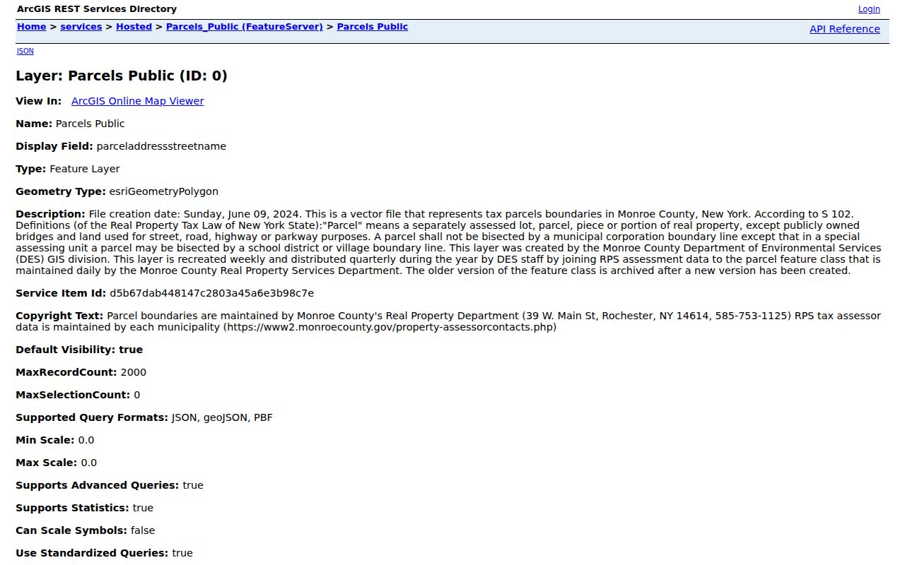
The fields in this view support a parcel-by-parcel check. They should be paired with a source date and municipality layer before any adjoining land pattern is described.
Ogden Neighborhood Watch Contacts
The Town public Neighborhood Watch material names five groups: Adams Basin, Chambers Street, Heather Acres, Southwind Way, and Whittier Road. Those names are useful community labels when an address falls near one of the listed areas. They are not published member directories. The Town gives the Police Department application routes by email, fax, or mail to the Town campus at 269 Ogden Center Road.
Public neighborhood programs are best used for meeting, program, or safety-contact questions. They do not establish who belongs to a household or who lives along a street. For historical community context, the Ogden Historian, Ogden Farmers Library, and the Ogden Historical Society preserve maps, photographs, yearbooks, family materials, and local research leads that can be checked against a dated official source.
Source view: the Town of Ogden Neighborhood Watch page identifies the public program listed groups.
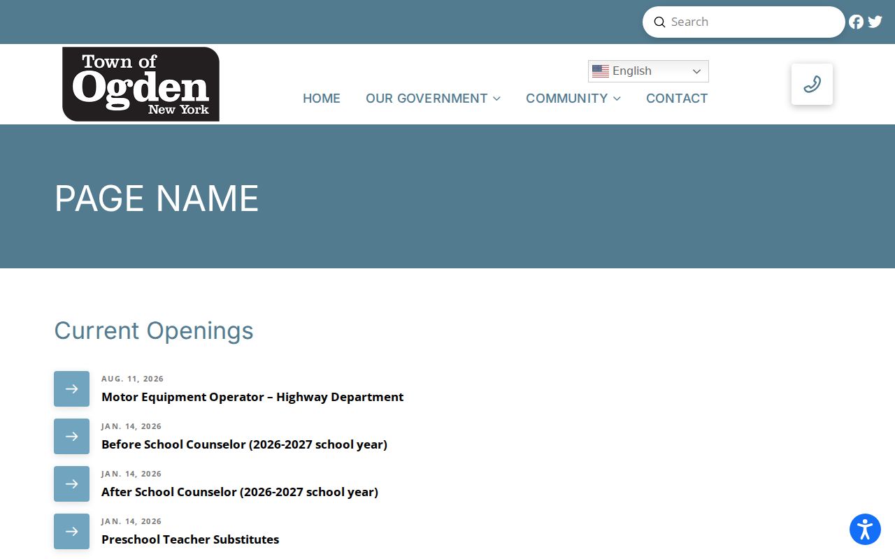
The visible group names provide geographic context only. Ask the official program for current public contact procedures instead of trying to locate a private roster.
Spencerport and Ogden Boundaries
Town, village, hamlet, and postal labels can overlap around a single address. The Town of Ogden is the town-level jurisdiction. The Village of Spencerport lies within the broader area and has its own municipal context. Adams Basin and Ogden Center are community labels with their own historical value. A record marked Spencerport may be using a postal city, a village jurisdiction, or both. The parcel viewer Towns and Villages layer is the direct way to sort that out.
This geography has a local-history layer too. The 2024 comprehensive plan describes a setting shaped by farmland, hamlets, parks, the Erie Canal, and managed growth. The Ogden Historical Society notes six canal bridges and the 1908 to 1931 Rochester, Lockport and Buffalo interurban route through Spencerport. These are useful map and newspaper search terms for a historical block, but they do not prove that a particular household used a stop or lived near a landmark.
Note: Preserve the original community label in an older source, then record the modern municipality separately when the map confirms it.
Ogden Voter Lookup Limits
Monroe County voter lookup uses street number, street-name autocomplete, ZIP, last name, and date of birth to provide registration, polling-place, sample-ballot, mail-status, and elected-official service results. It can help test election-service geography for a specific address. It is not a way to build a public neighbor list, and date of birth is an input that should not be copied into research notes or images.
Election Law §3-103(5) controls voter-data requests and requires an election-purpose statement. Confidential registration under Election Law §5-508 can keep a qualifying voter residence address out of public inspection for four years. A blank or limited response may reflect a protection, a jurisdiction issue, or an input mismatch. It is never a reason to guess at a residence.
Source view: the Monroe County voter lookup displays the exact-address fields used for an individual election-service check.
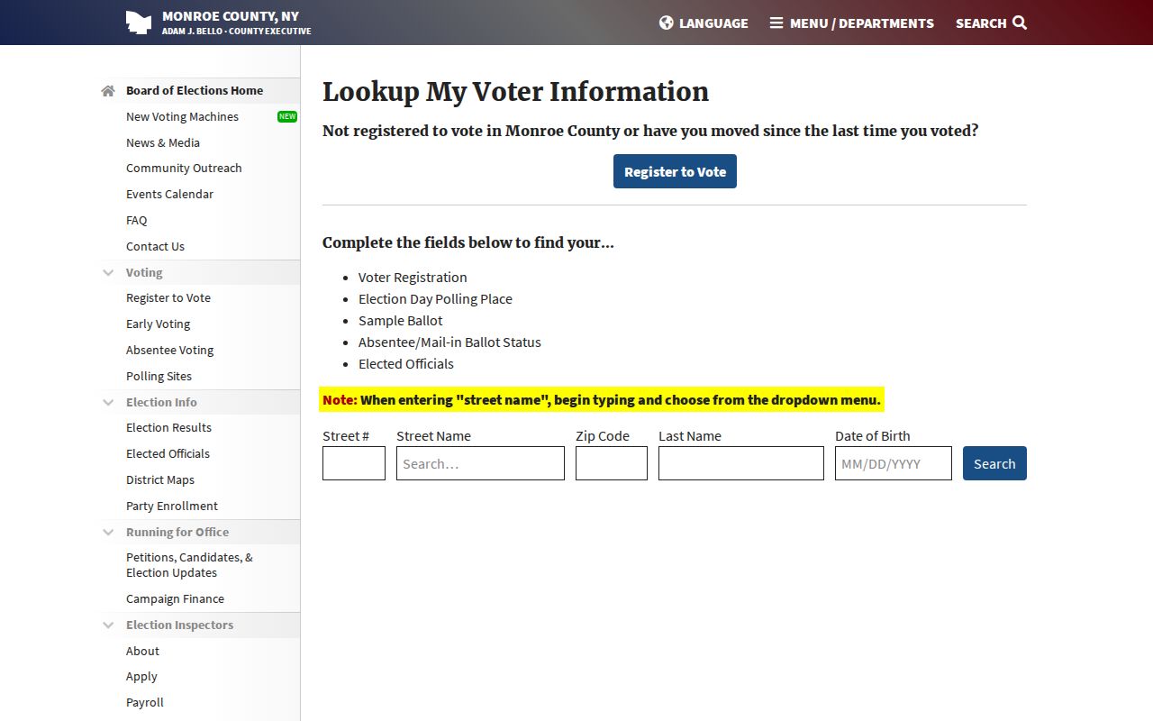
The interface supports a limited service question. It does not provide a block roster, and private input values should never be retained or republished.
Compare Ogden Neighbor Sources
Official parcel and Clerk records are stronger for a field they actually display. They identify land, a dated roll entry, or named parties to an instrument. A community page is stronger for its published program name or contact route. Commercial neighbor-search categories may combine stale or unmatched data and can blur an owner, mailing address, and resident into one claim. Use the official record first, then ask the custodian when a field is unclear.
| Official block record | Unverified compiled result |
|---|---|
| Shows source date, field, custodian, and access boundary | May omit source date or mix different people with the same name |
| Allows a parcel, map, or recorded instrument to be checked | Can turn a mailing or past address into an unsupported current claim |
| Separates Town, Village, and postal layers | May flatten those distinct jurisdictions into one place label |
For an estate, family-history, civic, or property-curiosity question, preserve both the source and what it can prove. A small, dated evidence trail is more useful than an expansive but uncertain list.
Ogden Neighbor Privacy Limits
New York FOIL allows requests for existing records under Public Officers Law Article 6, subject to exemptions and redactions. It does not require the Town or County to assemble a new neighbor directory. The Town Clerk can receive a reasonably described request for an existing public file, while courts and vital-record custodians follow different access rules. Ask for the particular dated document or map layer, not private contact information.
The New York Address Confidentiality Program uses a substitute address and mail forwarding for eligible people. Confidential voter registration is a separate safeguard. Protected addresses and limited search results should be respected, not combined with other records to work around them.
When a map, roll, or office response is unclear, preserve the source date and ask the responsible custodian about that record type. The Monroe County Clerk can clarify document access, the Assessor can explain a roll field, and the Town Clerk can receive a reasonably described request for an existing Town record. That route is safer than filling a gap with a mailing label, a neighboring parcel, or an unverified compiled result. A limited response can reflect privacy, date coverage, or jurisdiction rather than a missing person or household.
Lawful use. Ogden neighbor research is for personal, lawful purposes and must not be used to stalk, harass, intimidate, or harm anyone. Verify a record with the office that controls it.
Note: Do not publish an exact private address, personal contact detail, map pin, or family detail about a living private person from a block search.