
Map Ogden ZIP Code Coverage
ZIP codes are postal delivery constructs, not the legal borders of Town of Ogden or Village of Spencerport. Official Town material supports a strong majority-area clue for Spencerport 14559, and the 2024 final assessment roll also shows Ogden address records with Churchville and Rochester postal codes. The Town did not publish a complete parcel-by-parcel ZIP allocation. The final two rows below remain research leads, not settled statements that the codes cover all or part of Ogden.
| ZIP | Areas Covered | Post Office | Notes |
|---|---|---|---|
| 14559 | Spencerport postal area and the majority-area Ogden lead | Spencerport | Town planning material says most of Ogden uses 14559; the 2024 final roll also shows it. Verify the parcel boundary. |
| 14428 | Churchville postal lead observed in the 2024 Ogden final roll | Churchville | A Churchville mailing label does not decide Village or Town jurisdiction. |
| 14624 | Rochester postal lead observed in the 2024 Ogden final roll | Rochester | Do not infer a Rochester municipality from the postal city. |
| 14420 | Brockport-area lead only | Brockport | USPS and GIS verification is required before treating it as Ogden coverage. |
| 14514 | North Chili-area lead only | North Chili | USPS and GIS verification is required before treating it as Ogden coverage. |
Most of Ogden is associated with 14559, but the Town’s agricultural planning material also describes southern and edge relationships with surrounding communities. Treat the ZIP code directory as a set of testable postal leads. Retain the date, address, and source used for each result instead of relying on a center-of-town assumption.
Verify Ogden ZIP Code Labels
The USPS ZIP Code Lookup supplies the postal check. It offers three distinct modes. By Address uses a required street address with city and state, while Company and Apt/Suite/Other are optional. By City/State returns the ZIP choices recognized for that place, but USPS directs users to the address route when more than one code is possible. Cities by ZIP starts with a ZIP and returns recognized city names. None of the modes confirms that a named person or company is at an address.
Open the USPS ZIP Code Lookup form to compare the three modes.
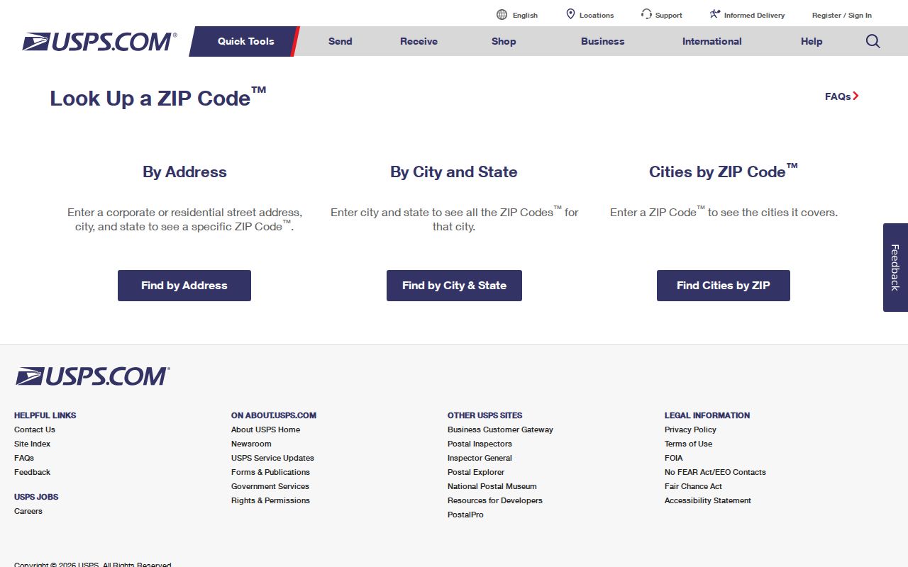
The USPS form distinguishes address validation from city-name browsing. Include an apartment or unit when it affects delivery, then keep the result as a postal field alongside, not in place of, the parcel’s legal municipality.
For historic research, preserve the address and post-office wording that appears in the dated source. A modern postal lookup can help locate the place, but it should not overwrite a historical street, route, or community label.
Inspect Ogden Parcel ZIP Fields
The Monroe County public parcel feature layer carries fields needed to test postal and municipal geography. ParcelAddressCity and ParcelAddressZipCode show the address fields carried by the layer. COUNTYSBL, PrintKey, and SWIS help preserve the parcel identity. Acres, RollYear, TotalAssessedValue, HistBook, and HistPage add dated parcel context, but none of them converts a postal label into a boundary ruling.
Review the Monroe County parcel feature-layer source before comparing its ZIP values.
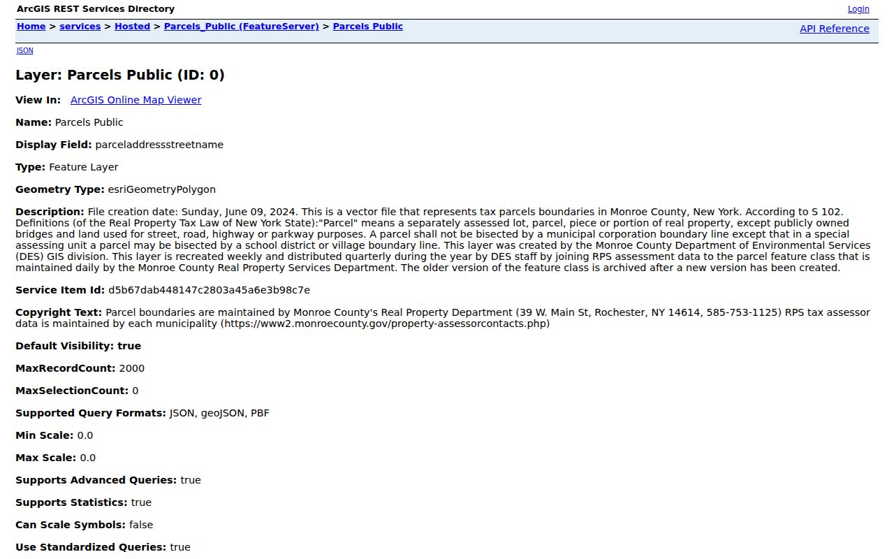
The public record screen makes the ZIP field visible beside the parcel information. Save the query date and roll year, because the layer is updated over time and map fields describe a recorded parcel, not a survey or occupancy result.
Separate Ogden Postal Geography
The Town of Ogden and the Village of Spencerport have a key overlap: Spencerport is both an incorporated village within the broader Ogden area and a familiar postal or community label. An address printed as Spencerport does not, by itself, establish that it lies inside the Village. The same caution applies to Churchville and Rochester labels in the assessment roll. Postal names tell a delivery story. The Towns and Villages layer identifies the governmental geography that determines the likely custodian.
Use the Monroe County Parcel Viewer with its Towns and Villages and ZIP-code layers turned on. The 2024 Ogden comprehensive plan describes farmland, hamlets, parks, and the Erie Canal, all of which can make a map label feel more decisive than it is. The parcel overlay keeps the ZIP code directory grounded in the correct jurisdiction.
Geography check. A Spencerport postal result can be correct while the parcel sits outside the incorporated Village. Compare USPS, parcel municipality, Town/Village layer, and assessor city and ZIP before requesting a local record.
Find Ogden Residents by ZIP
A ZIP code can narrow a property search, but it does not produce a dependable roster of residents. Start with an address and apply each official source to the question it can answer. The result is a reproducible address record: postal ZIP and city, parcel municipality, Town/Village overlay, assessor city and ZIP, and a source date. When those fields disagree, record the difference rather than choosing one label silently.
- Run the address through the USPS By Address mode and save the returned ZIP and city.
- Search the parcel viewer and confirm the parcel’s address, COUNTYSBL or PrintKey, and the Towns and Villages overlay.
- Compare the postal fields with the Town of Ogden Assessor roll and the County property route, keeping the roll year beside any values or mailing information.
- If an election-service question remains, use the Monroe individual voter lookup with the exact address, ZIP, name, and date of birth. Do not treat it as a ZIP-wide browse tool.
- Once the geography is confirmed, use the Ogden street directory for the address-to-parcel and deed workflow.
At a Town edge, check an address on each side rather than relying on an interior address. For a parcel in Spencerport, separately verify whether the research question belongs with the Village or Town custodian. Historic directories should retain ZIPs only where the original source used them.
Use Ogden Voter ZIP Fields
The Monroe County voter lookup is an individual election-service form. It accepts a street number, autocomplete street name, ZIP, last name, and date of birth. Its result can help a registered voter check registration, a polling place, sample ballot, mail status, or elected officials. It does not make a public list of everyone within a ZIP code, and a protected registration may return no ordinary match.
| Lookup field | Form role | Boundary for use |
|---|---|---|
| Street # | Identifies the address number | Use the exact number from the parcel or postal check. |
| Street name | Autocomplete street field | Select the displayed street form rather than guessing an abbreviation. |
| ZIP | Postal field | Use the verified ZIP; it does not establish municipal jurisdiction. |
| Last name | Individual lookup field | Needed with the address information for the service query. |
| Date of birth | Individual lookup field | An input for the service, not a detail to republish. |
The form’s combination of address, ZIP, surname, and date of birth demonstrates an individual verification service. Election Law protections can limit access to confidential registrations, so no result is not proof that a person is absent from the community.
Source view: the Monroe County voter lookup displays the form’s street, ZIP, surname, and service fields.
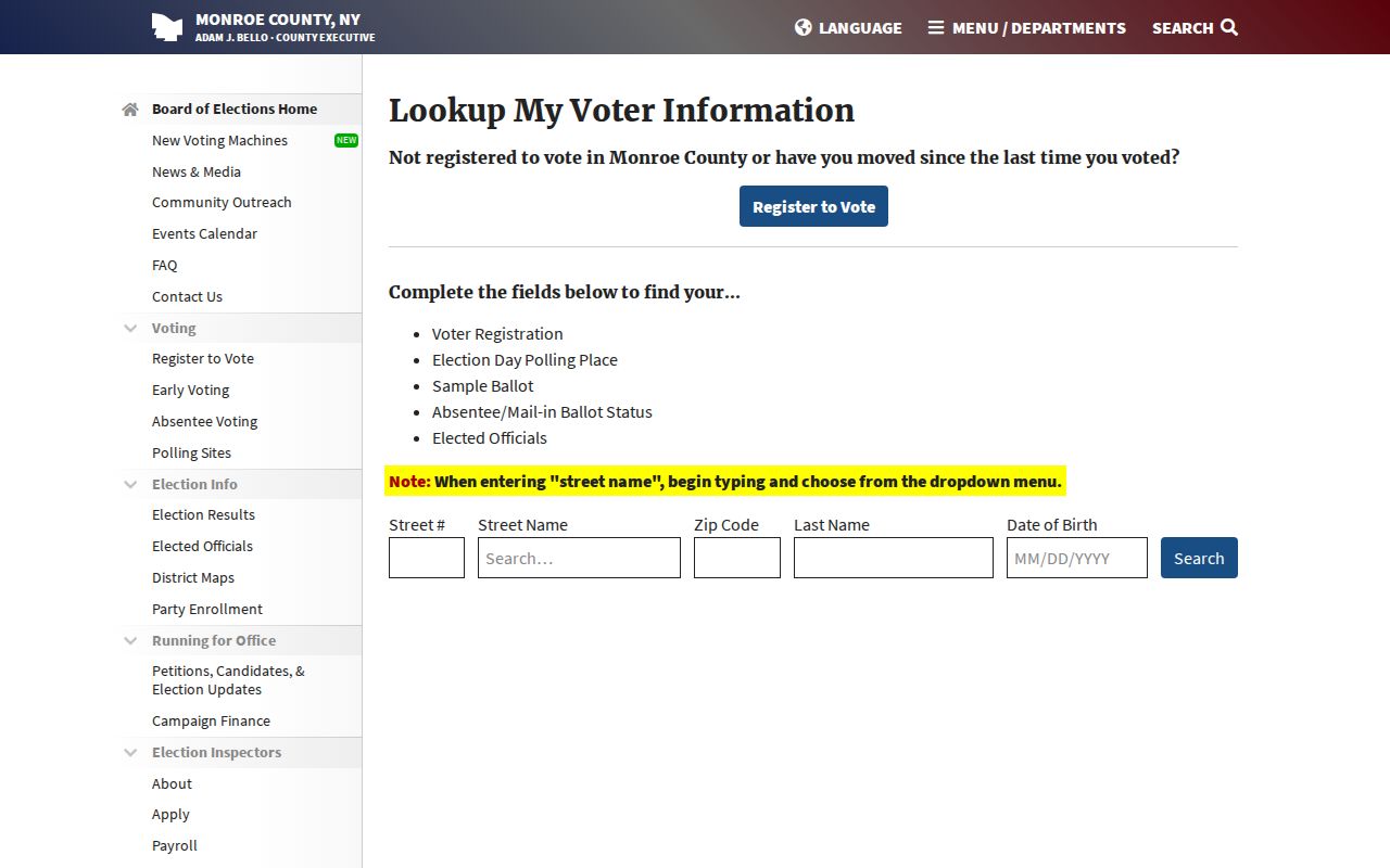
The ZIP field is useful only alongside the exact address and the Town or Village boundary check, not as a list of people in a postal area.
Compare Ogden ZIP Code Sources
The most useful ZIP code directory result is an intersection, not a single field. USPS establishes the delivery code and recognized city label. The parcel layer identifies the mapped parcel and its postal attributes. The Towns and Villages overlay resolves municipal geography. The assessment roll adds a dated city or ZIP field and records the value for that roll year. These four views often agree, but edge parcels and mailing labels are exactly where the comparison matters.
Use the parcel’s legal municipality when choosing a Town or Village office. Retain a Churchville or Rochester postal city when the record shows it, rather than replacing it with a different locality. That preserves the source while making the jurisdictional distinction clear.
Note: A ZIP result is best recorded with its source date because postal and assessment fields serve different administrative purposes.
Define Ogden ZIP Code Terms
Postal terms can look like municipal terms, but they are not interchangeable. These definitions help keep an Ogden ZIP code search specific without assigning a generic postal category to a particular local parcel. The actual allocation for an address still comes from USPS and the parcel review.
- ZIP versus ZIP+4
- A ZIP identifies a delivery area. ZIP+4 adds a more specific delivery segment, often tied to a block, building, or delivery point.
- PO-box ZIP
- A ZIP used for post-office-box delivery. It does not establish the physical location of a person or property.
- Unique ZIP
- A ZIP assigned for a single organization or high-volume recipient. Its existence does not describe ordinary local delivery coverage.
- Carrier route
- A postal delivery sequence used for mail handling. It is not a municipal boundary or a complete resident list.
Test Ogden ZIP Code Edges
Boundary testing should be deliberate. Choose an address toward each side of the Town and one inside the incorporated Village, then compare the USPS result, ParcelAddressCity, ParcelAddressZipCode, and Town/Village layer. Add the assessor’s displayed city and ZIP with its roll year. If a mailing label points toward a neighboring post office, describe it as an exception rather than forcing it into a one-code map.
This method is especially important for 14420 and 14514. They are Brockport and North Chili leads from broader coverage research, not verified allocations for Ogden. A current USPS query and GIS review are required before either is used as an address conclusion.
Keep Ogden ZIP Dates Separate
ZIP codes are modern postal fields. When a historical directory, deed, newspaper, or map gives an earlier address, preserve the street, route, post-office, or community wording as printed. The local historical record includes a 1907 post-office move across South Union, a reminder that a post-office clue can be dated place history rather than a current address label.
A modern ZIP lookup can help orient a later search, but it should be documented separately from the older evidence. Pair dated postal research with a parcel map and municipal layer before making a request or describing a location.